Walk south from the foot of Ocean Avenue along Scenic Road and the beach does something most visitors never notice. Somewhere past the Carmel Meadows bluffs, the wide-open sand and the off-leash dogs give way to a narrower stretch where the water goes still, the birds get bolder, and every dog on the path suddenly has a leash. Carmel Point residents already know this. What's changing this year is what's happening a mile upstream of that line, where a retired golf course is finishing its multi-year transformation back into a working river.
Most guides to this stretch of coastline treat the neighborhood's two beaches as interchangeable bullet points: sand, view, access. They aren't the same place. They run on different rules, different wildlife calendars, and, as of 2026, a very different upstream landscape that's about to change what the far end of the walk looks and feels like.
Two Beaches, Two Rulebooks
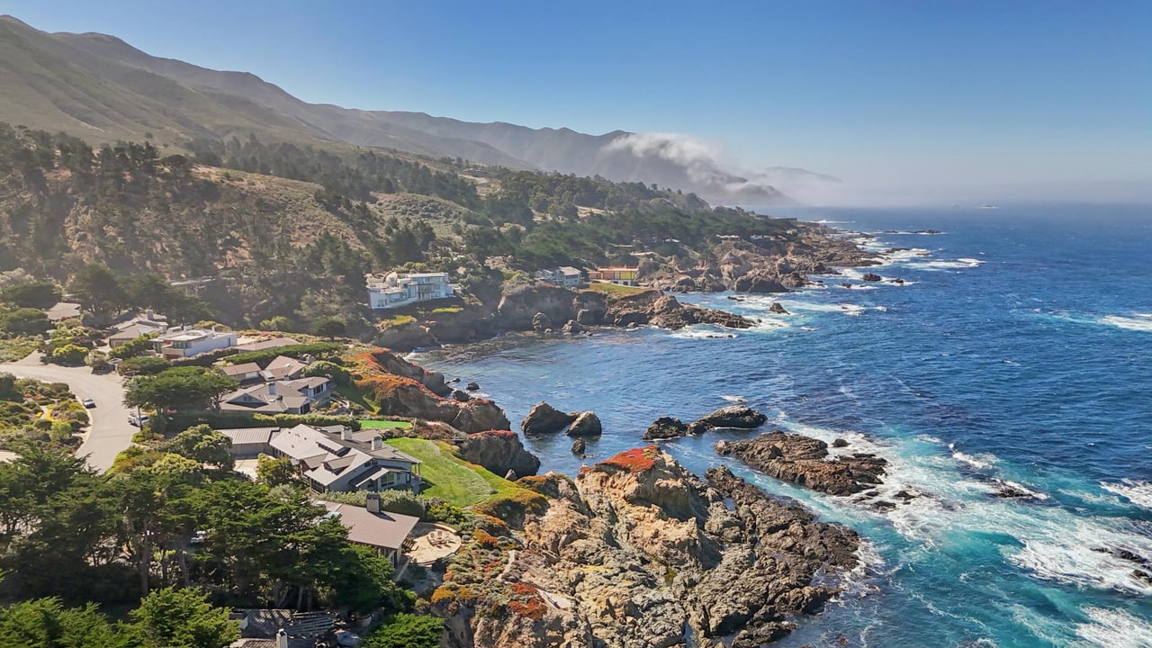
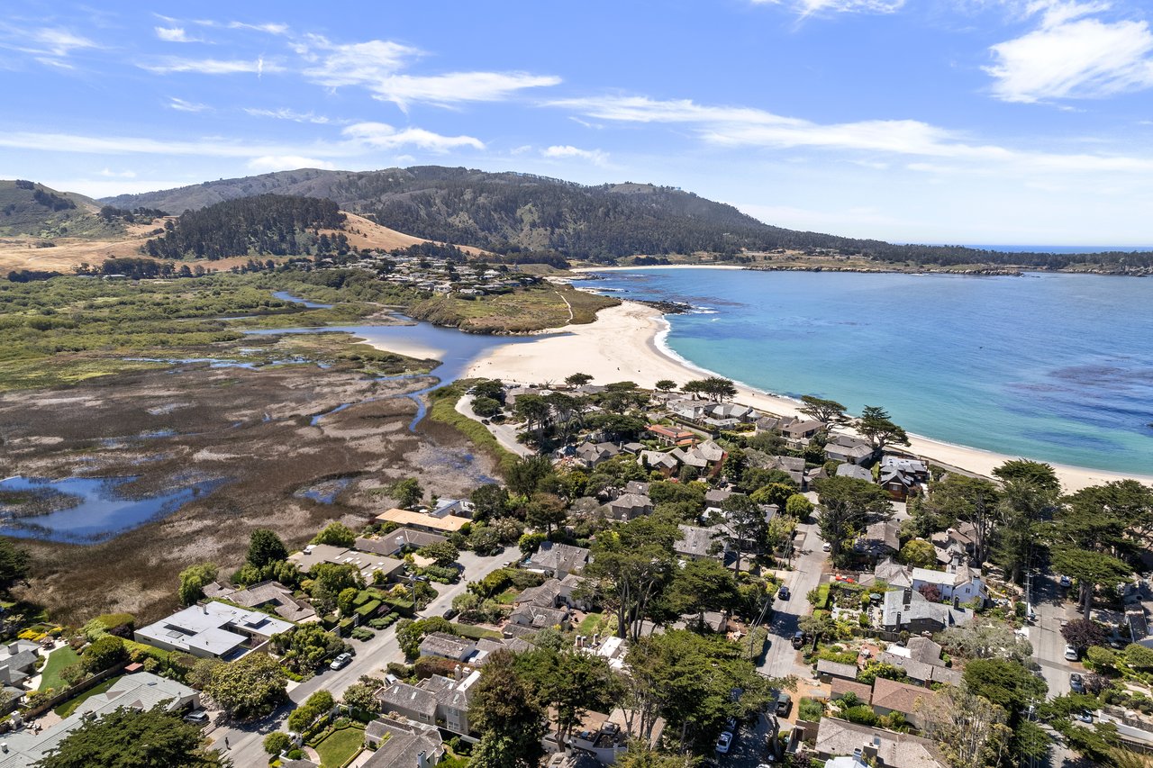
Carmel Point sits on the stretch of coast where Carmel Beach, the long open crescent everyone pictures when they think of Carmel, gives way to the calmer water at the mouth of the Carmel River. The two beaches are close enough to visit both in the same walk, but they don't share a rulebook. On Carmel Beach, dogs run off-leash as long as they respond to voice command. Cross onto the river side, often called River Beach, and the leash goes back on. It's a small detail, easy to miss until your dog is the one testing it.
The water behaves differently too. The shoreline here is known for unpredictable rip currents, which is part of why swimming isn't recommended even on days when the surface looks flat. The same stretch draws scuba divers and sea kayakers instead, launching from the calmer lagoon side toward the kelp forests near Point Lobos rather than fighting the current straight out from shore.
None of this is dramatic. It's the kind of local knowledge that separates a resident's mental map from a tourist's. The ocean side of Carmel Point behaves like a beach town. The river side behaves like a wildlife preserve that happens to have sand.
The Hush at the Lagoon
That wildlife-preserve feeling is not incidental. The Carmel River Lagoon and Wetlands Natural Preserve sits at the north end of Carmel River State Beach, and it's one of the more reliable birding stops on the Peninsula, drawing herons, egrets, Virginia rails, and a rotating cast of gulls and shorebirds through the lagoon and up along the river itself. Fall and winter are the quiet season here, the months when the crowds thin out and the birding gets better precisely because fewer people are around to disturb it.
The same stretch of eucalyptus near the river mouth also hosts overwintering monarch butterflies, and this is where the honest picture gets more complicated than a postcard would suggest. The Xerces Society's most recent Western Monarch Count, the 29th annual survey, tallied roughly 12,260 monarchs across 249 sites along the California coast during the typical late November to early December peak, the third-lowest total the count has recorded since it began in 1997. By the time the final survey period closed on January 11, 2026, that number had dropped to 6,464 across 193 sites, a seasonal decline that's actually within the normal range for the past decade rather than an unusual crash.
Scale it down to sites closer to home and the numbers get more specific. Pacific Grove's official Monarch Butterfly Sanctuary counted just 188 butterflies this past season, down from 228 the year before. A private grove in Big Sur, the nearest site in the data with a hard number, held 1,140 monarchs in the same late-season count. Researchers studying the broader western population estimate a decline of roughly 10 percent a year since the 1980s, when observers counted in the millions rather than the thousands. None of that means the eucalyptus grove near the Carmel River mouth is empty. It means the flutter of orange you might catch on a December walk is rarer than it used to be, and worth pausing for.
What the Golf Course Used to Take From the River
The most significant change near Carmel Point this year isn't happening on the beach at all. It's happening about a mile upriver, on the site of the former Rancho Cañada Golf Club, where a $35 million restoration project is in its final construction push.
For most of its operating life, the golf course was the second-highest water user on the entire Carmel River, according to the Monterey Peninsula Regional Park District, which now owns the property. In 2018, a consortium that included the Trust for Public Land, the Santa Lucia Conservancy, Trout Unlimited, and the California Coastal Conservancy bought the land for conservation and recreation. Construction on turning the old fairways back into functioning river habitat began in the summer of 2025 and is expected to wrap sometime this year.
The scale of the work is not subtle. The project is reconnecting roughly 40 acres of floodplain and restoring about 7,600 feet of river corridor, with 175,000 native plants going into the ground along the way, according to the project's own accounting. Three old golf-cart bridges are being retired entirely. In their place, one new pedestrian bridge is being built, engineered to also carry emergency vehicles, which will support public access into the 4,500-acre Palo Corona Regional Park to the south and, eventually, a future segment of the California Coastal Trail extending toward Big Sur.
The engineering logic is straightforward even if the ecology is more complicated. For decades, the river here ran between banks as high as 15 feet, cut off from the floodplain that used to slow it down and recharge groundwater. A NOAA fisheries biologist involved in the project's design summed up the goal as making the river messier and slower, on purpose, because that's what the federally threatened South-Central California Coast steelhead and other species actually need. Immediately downstream, on a separate 60-acre parcel that was also part of the old golf course, a residential development has been proposed. That's a distinct project from the restoration work, still working through its own process, but it's part of the same stretch of river that Carmel Point residents already walk, bike, and drive past on the way to Carmel Valley.
The Walk Changes Shape This Year
None of this rewrites the beach walk Carmel Point residents already know. It adds a layer to it. A few things worth keeping in mind as the seasons turn:
- Gray whales pass close enough to the Scenic Road bluffs to spot without a boat from December through April. Bring binoculars if you have them.
- The lagoon's bird activity picks up through fall and winter, and it's a better birding stretch than the open beach precisely because it stays quieter.
- Leash rules flip at the river mouth. Off-leash on Carmel Beach, on-leash at River Beach, no exceptions either direction.
- Swimming is discouraged at Carmel River State Beach year-round because of unpredictable currents, even when the water looks calm.
- Upriver at the old Rancho Cañada site, expect construction activity and access detours through the rest of this year as the floodplain project finishes, with new public trail connections toward Palo Corona Regional Park likely to follow once the work wraps.
The thread connecting all of it is that Carmel Point has never really been one beach. It's been two different environments stitched together at a river mouth, each with its own rules, its own calendar, and now its own construction timeline upstream. Residents who've always known instinctively where the off-leash zone ends are about to find that the quiet, river-fed half of their neighborhood is getting quieter still, at least until the excavators leave and the new floodplain starts doing what floodplains do.
The Bambace Peterson Team walks this stretch of coast as often as anyone in Carmel Point, and we like hearing what neighbors are noticing at the lagoon or up along the restoration site as the seasons turn. Contact us anytime to compare notes on the walk.